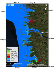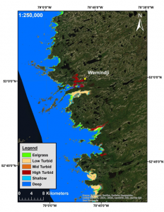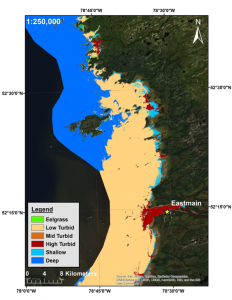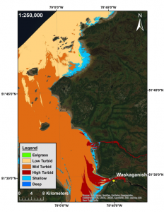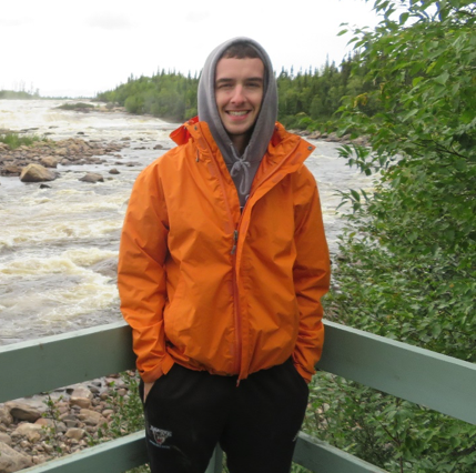
My name is Kevin Clyne a graduate student at the University of New Brunswick whose research focus is on the remote sensing of eelgrass beds in Eeyou Itschee using freely available, multispectral satellite imagery. Our team has been working to establish a baseline distribution map of eelgrass alone the entire Eastern coast of the bay in order to pave the way for future monitoring and change detection efforts. So far, we’ve seen fairly good results with our best image classification obtaining approximately 80% accuracy. One serious challenge we’ve been facing is working with nature to try and get good imageries (from space, that is). There are only a few months of the year where the clouds and ice free up enough to give us a clear image of the bay, and during those months we’ve also observed really turbid (red / dirty) water traveling northwards from the south-eastern end of the bay, particularly in the Southern end of the bay (near Eastmain and Waskaganish). Such turbid water makes it difficult to “see” eelgrass on the satellite imagery. Moving forward, we hope to utilize the same methods to evaluate how eelgrass distributions have changed in the bay over the past ~50 years using historical imagery.
